Slocan Lake and River Partnership
Overview
The Slocan Lake and River Partnership (SLRP) brings together the Sinixt Confederacy, the Syilx Okanagan Nation Alliance, the Regional District of Central Kootenay (RDCK), the Villages of New Denver, Silverton and Slocan, and the Province of British Columbia. Together, the Partnership works to conserve, protect and restore the ecological health of the Slocan Lake and River watershed and to provide guidance that informs land and water use decisions.
Latest News
The Partnership has issued a Request for Proposals (RFP) seeking consultants to inventory and map historic floodplain and riparian ecosystems along the Slocan River and Little Slocan River. The maps and guidance will help governments, landowners and residents make better-informed land and water decisions. The project is funded by a $100,000 Community Works Fund grant, approved by the RDCK Board in July 2026.
What is happening?
A Sensitive Ecosystems Inventory (SEI) is a map of where sensitive ecosystems are and what values they hold. It follows provincial standards so that results are consistent, defensible and suitable for planning use across the valley. This work updates a 2012 baseline map by the Slocan River Streamkeepers, along with later mapping of the Little Slocan River and Little Slocan Lakes.
Study area
The study area is the historic valley-bottom floodplain and riparian zone, mapped from valley wall to valley wall:
- Slocan River: approximately 59 km, from the outlet of Slocan Lake to the confluence with the Kootenay River at Shoreacres.
- Little Slocan River: a priority 10 km up to Little Slocan Lake, with the first 6 km as the immediate priority.
- Small seeps and creeks that feed the system, with particular attention to where first, second and third order tributary streams cross the valley bottom.
What the project will produce
- A current, standardized map of sensitive ecosystems, including cottonwood floodplain benches, fluvial fringe, wetlands and associated riparian communities.
- Information on rarity, condition, and known species at risk and rare ecosystems.
- Area-based planning recommendations that Partnership members can use to inform land use planning and conservation and restoration priorities.
- Maps and plain-language materials for community education.
How will it work?
The consultant will map ecosystems from air photos and imagery over the winter, then confirm the mapping in the field during the 2027 growing season. Field verification is most reliable in the growing season, approximately May to October.
Why does this matter?
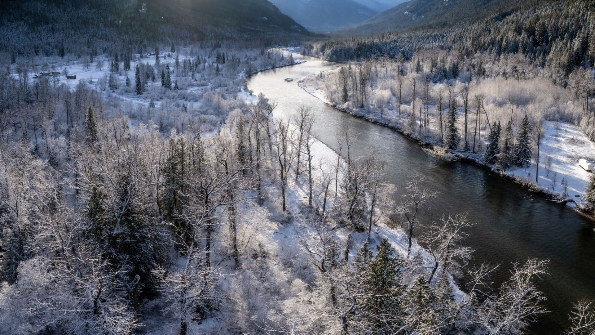
The Slocan River is one of the last undammed fifth-order rivers in the Columbia Basin. Its valley bottom holds some of the most ecologically significant and most threatened habitat in the region.
- Rare ecosystems. Mature black cottonwood floodplain forests here include the Fm01 Black Cottonwood, Snowberry, Roses ecological community, which is red-listed as threatened or endangered in British Columbia.
- Species at risk. These floodplains support species including Western Screech-owl, Lewis’s Woodpecker and the Coeur d’Alene Oregonian snail.
- Watershed functions. Floodplains provide flood attenuation, streambank stability, water filtration, shade for fish-bearing waters, and habitat connectivity across the valley.
A refreshed map gives Partnership members a shared, current picture of the whole river to guide planning, identify priority areas for conservation and restoration, and support climate resilience in the valley.
How to stay involved
Follow this page for updates as the project moves forward.
Community engagement will be delivered by the Slocan River Streamkeepers on behalf of the Partnership.
Frequently Asked Questions
Will this mapping change what I can do on my property?
No. The mapping itself does not create new regulations or change how any property can be used. Any future change to land use planning tools would go through its own public process.
Will the consultant come onto my land?
The consultant does not contact landowners directly. Any contact with landowners is arranged through the SLRP Coordinator.
Will maps showing my property be made public?
Parcel-level and landowner information is confidential and will not be published. Public maps are built from non-sensitive information only, with precise locations of species at risk screened out or generalized.
How is cultural information protected?
Cultural and archaeological information is identified only under the direction of the Sinixt and Syilx partners. It remains under the authority of the respective Nations and is not included in any public product.
Who's listening
Key Dates
Project Name: Slocan River and Little Slocan River Sensitive Ecosystems Inventory (SEI) Mapping
Find the RFP at rdck.ca/bids

